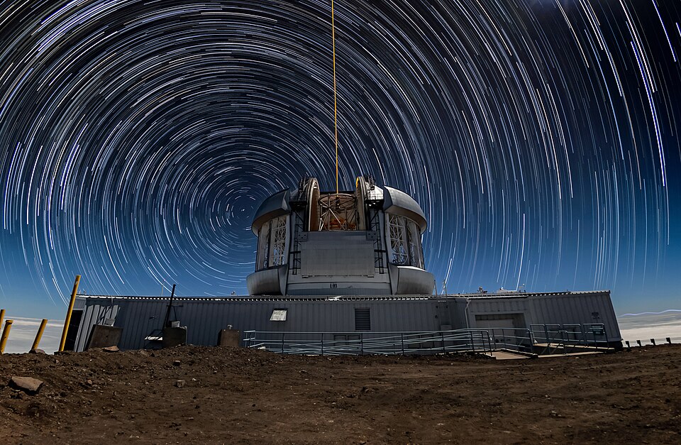
Why Polaris Stays in Place
Polaris appears to stay in one spot because it lines up almost perfectly with Earth’s axis of rotation. Earth spins like a top, and its axis points almost directly at Polaris. As Earth rotates, every other star seems to move across the sky, but Polaris stays nearly still. Think of it like the center of a merry-go-round — everything else spins around the middle, but the center point hardly moves. Polaris is currently less than one degree away from the true North Celestial Pole, making it an incredibly useful reference point.
Ancient Navigators and the Stars
Long before GPS or compasses, ancient sailors and travelers used the stars to find their way. The Phoenicians, who were skilled sailors around 600 BCE, were among the first to use Polaris for navigation. Ancient Polynesians crossed thousands of miles of open Pacific Ocean by reading the stars, waves, and winds. The ancient Greeks and Romans also used stars to navigate the Mediterranean Sea. Knowing which direction was north helped travelers figure out east, west, and south, allowing them to plan their journeys across land and sea.
How Celestial Navigation Works
Celestial navigation is the practice of using stars, the Sun, and the Moon to determine your position on Earth. By measuring the angle between Polaris and the horizon, a navigator can figure out their latitude, or how far north or south they are. If Polaris is directly overhead, you are at the North Pole; if it sits on the horizon, you are at the equator. Sailors used a tool called a sextant to measure these angles precisely. This method was the main way ships crossed the oceans for hundreds of years before modern technology took over.
Over the centuries, people invented several tools to help with celestial navigation. The astrolabe, developed over 2,000 years ago, helped astronomers and navigators measure the positions of stars. The magnetic compass, which came to Europe from China around the 1100s, pointed travelers toward magnetic north. The sextant, invented in the 1700s, let sailors measure the exact angle between a star and the horizon. Navigators also used detailed star charts and almanacs that listed where stars and planets would appear on specific dates. Together, these tools made long ocean voyages possible.
Polaris Through History
Polaris has not always been the North Star, and it will not always hold that title. Earth wobbles slowly on its axis in a motion called precession, which takes about 26,000 years to complete one full cycle. Around 3,000 BCE, the star Thuban in the constellation Draco was the North Star, and the ancient Egyptians used it when building the pyramids. In about 12,000 years, the bright star Vega will be close to the North Celestial Pole. Polaris became the North Star roughly a few hundred years ago and will remain close to the pole for several more centuries.
The Southern Hemisphere Challenge
People living south of the equator cannot see Polaris at all because it sits too far north in the sky. The Southern Hemisphere does not have a single bright star marking the South Celestial Pole the way Polaris marks the north. Instead, southern navigators used the Southern Cross, a constellation of four bright stars, to find south. By drawing an imaginary line through the long axis of the Southern Cross and extending it, sailors could locate the approximate position of the south pole in the sky. This made navigation in the Southern Hemisphere a bit more challenging but still possible.
Navigation Today
Modern technology has changed how people navigate, but Polaris and the stars still matter. GPS satellites orbiting Earth can pinpoint your location within a few feet, making paper maps and sextants seem old-fashioned. However, military personnel, sailors, and pilots still learn celestial navigation as a backup in case electronic systems fail. The U.S. Naval Academy restarted teaching celestial navigation to its students in 2015 after a long break. Looking up at Polaris connects us to thousands of years of human history, when brave explorers used nothing but the stars to cross unknown lands and seas.