The Trail Route
The trail currently runs from Dale Avenue in Mountain View south to Blackberry Farm in Cupertino. Along the way, it passes through several parks including Stevens Creek Shoreline Nature Study Area, Cresta Park, and Stevens Creek County Park. The northern section connects to the Bay Trail system, which allows hikers and cyclists to continue all the way to Shoreline Park and the edge of San Francisco Bay. The southern end near Blackberry Farm features picnic areas, a pool, and access to the foothills of the Santa Cruz Mountains. The City of Mountain View and neighboring communities have long-term plans to extend the trail and close remaining gaps in the network.
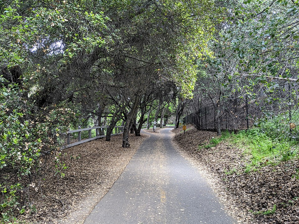
Wildlife and Habitat
Stevens Creek and its surrounding riparian corridor provide a vital strip of natural habitat running through the urban landscape. The creek supports populations of native fish, including steelhead trout, which are listed as a threatened species under the federal Endangered Species Act. Great blue herons, snowy egrets, and red-tailed hawks are commonly spotted along the waterway. Black-tailed deer, western gray squirrels, and raccoons are regular visitors to the creek banks. The mature valley oaks and California sycamores that line the trail create a canopy that helps keep the water cool for fish and provides nesting sites for birds.
The Stevens Creek Watershed
Stevens Creek begins high in the Santa Cruz Mountains near the ridgeline of Monte Bello Open Space Preserve, at an elevation of about 2,400 feet (730 meters). From there it flows approximately 19 miles (31 kilometers) northeast through Stevens Creek Reservoir and the cities of Cupertino and Mountain View before emptying into southern San Francisco Bay. The total watershed covers about 28 square miles (73 square kilometers). The creek is an important part of the local water system, and Stevens Creek Reservoir, built in 1935, stores water for local use and helps control flooding downstream.
Connection to Shoreline Park
One of the best features of Stevens Creek Trail is its connection to the broader Bay Trail network. At the northern end of the trail in Mountain View, the path links up with trails leading to Shoreline Park, a 750-acre park built on a former landfill along the bay. This connection allows people to travel by foot or bicycle from the foothills of the Santa Cruz Mountains all the way to the shores of San Francisco Bay without ever getting in a car. The Shoreline connection is particularly popular with birdwatchers, since the salt ponds and marshes near the bay attract thousands of migratory shorebirds along the Pacific Flyway.
History
Stevens Creek takes its name from Captain Elisha Stephens (sometimes spelled “Stevens”), who led the Stevens-Townsend-Murphy Party across the Sierra Nevada in 1844. This was the first wagon train to successfully cross the Sierra into California. Before European settlement, the Ohlone people lived along the creek for thousands of years, using its waters for fishing and its banks for gathering plants. In the 20th century, the creek corridor was gradually developed as orchards gave way to suburban neighborhoods. The trail itself was built in phases beginning in the 1990s as communities recognized the value of preserving the creek corridor for recreation and habitat.
Fun Facts
- Captain Elisha Stephens led the first wagon train to cross the Sierra Nevada into California in 1844, and both the creek and Stevens Creek Boulevard are named after him.
- Threatened steelhead trout still make their way up Stevens Creek from San Francisco Bay to spawn, swimming through the middle of Silicon Valley.
- Stevens Creek Reservoir was built in 1935 and can hold about 3,138 acre-feet of water — enough to cover 3,138 football fields one foot deep.
- The valley oak trees along the trail are California’s largest native oak species and can live for 300 to 600 years.
- From the trail’s connection to Shoreline Park, you can watch migratory birds that have traveled thousands of miles along the Pacific Flyway from as far away as Alaska.