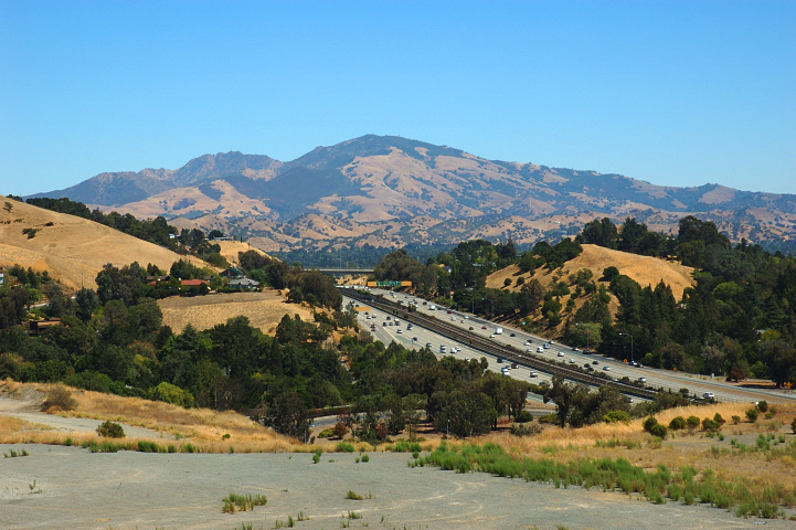
Geography and Geology
Mount Diablo is not a volcano. It formed through a geological process called upthrusting, in which underground forces pushed ancient rocks upward over millions of years. Some of the rocks near the summit are over 190 million years old, dating back to the Jurassic period when dinosaurs roamed the Earth. The mountain’s nearest subsidiary peak, North Peak, stands at 3,557 feet (1,084 meters) and is about one mile northeast of the main summit. The surrounding terrain includes rolling grasslands, rugged canyons, and oak woodlands.
Native American Heritage
The area around Mount Diablo was home to the Miwok and Ohlone peoples for thousands of years. In Miwok and Ohlone mythology, the mountain was considered the point of creation. The Bay Miwok people called it “Tuyshtak,” meaning “at the dawn of time.” Most of the mountain, including its peak, was within the homeland of the Volvon, a Bay Miwok-speaking tribe who considered this place sacred.
How It Got Its Name
The mountain’s name has an unusual history. In 1805, Spanish soldiers were pursuing a group of Chupcan Native Americans who escaped into a willow thicket near the mountain. By 1824, the area north of the mountain was marked on Spanish maps as “Monte del Diablo,” which meant “thicket of the devil.” When American settlers arrived, they misunderstood “Monte” (thicket) to mean “Mount” (mountain), and the name “Mount Diablo” became official in 1850.
Wildlife and Plants
Mount Diablo State Park protects a rich variety of habitats, from chaparral and grasslands to oak woodlands and rocky outcrops. The park is home to deer, coyotes, bobcats, mountain lions, and gray foxes. Golden eagles nest on the mountain in one of the highest concentrations of nesting golden eagles on the planet. Peregrine falcons also nest on the rocky cliffs. One of the mountain’s most famous plants is the Mount Diablo globe lily, a rare flower that grows mainly on and around this mountain. Every autumn, male tarantulas can be spotted crossing the trails in search of mates.
Surveying and Mapmaking
Mount Diablo played a key role in mapping the western United States. In 1851, Colonel Leander Ransom chose the summit as the starting point for surveying much of northern California and Nevada. This reference point, known as the Mount Diablo Meridian and Base Line, was used to establish land boundaries across a vast area. Even today, land descriptions in parts of California and Nevada reference the Mount Diablo survey point.
Visiting Today
Mount Diablo State Park covers about 20,000 acres and has been a state park since 1931. Visitors can drive, bike, or hike to the summit, where a historic stone observation tower built by the Civilian Conservation Corps in the 1930s offers panoramic views. The park has more than 100 miles of trails for hiking and horseback riding. On exceptionally clear days, visitors can see parts of 35 of California’s 58 counties from the top.